Fomento de Construcciones...
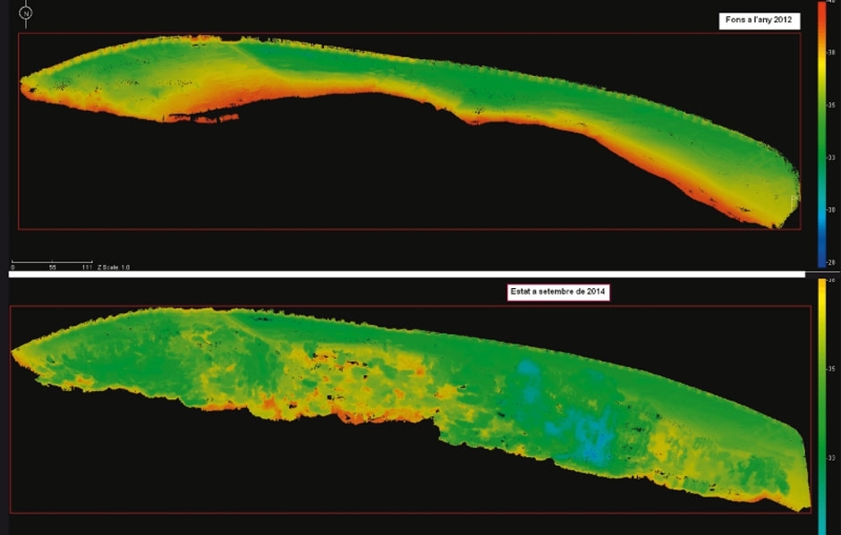
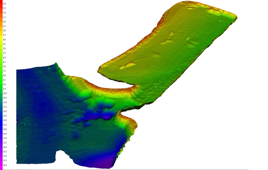
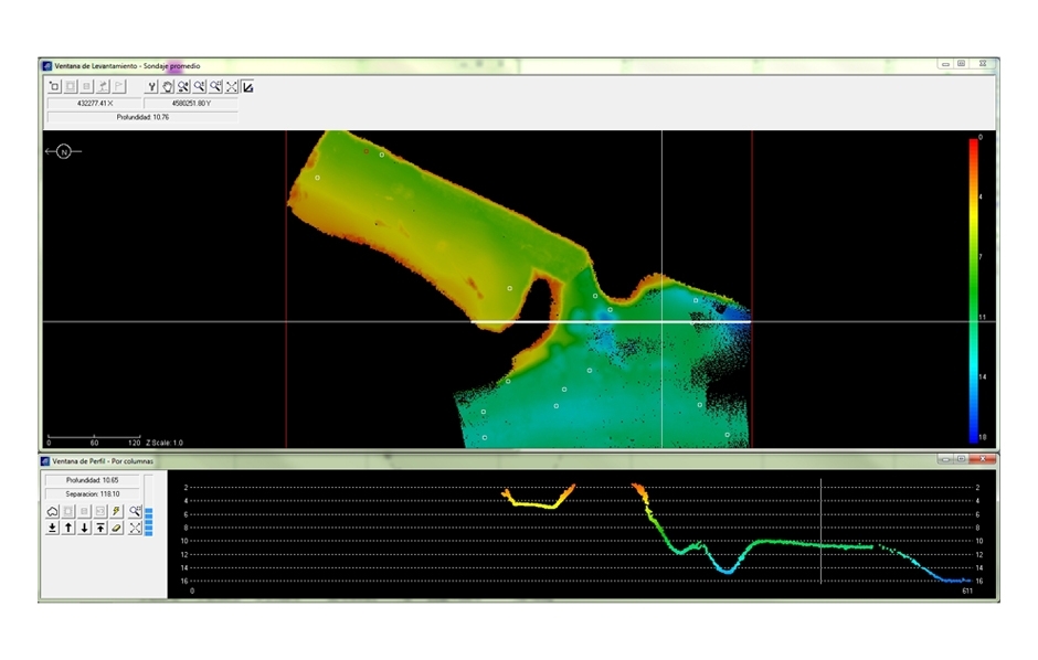
Bathymetric surveys
This specialism, also referred to as submarine topography, allows drawing detailed underwater maps, whether of the sea, rivers, reservoirs, etc. It permits surveys to be conducted of land that is hidden from view, and building to be carried out on it. Surveying the relief of underwater surfaces poses certain specific difficulties that need to be technically resolved on a bespoke basis.